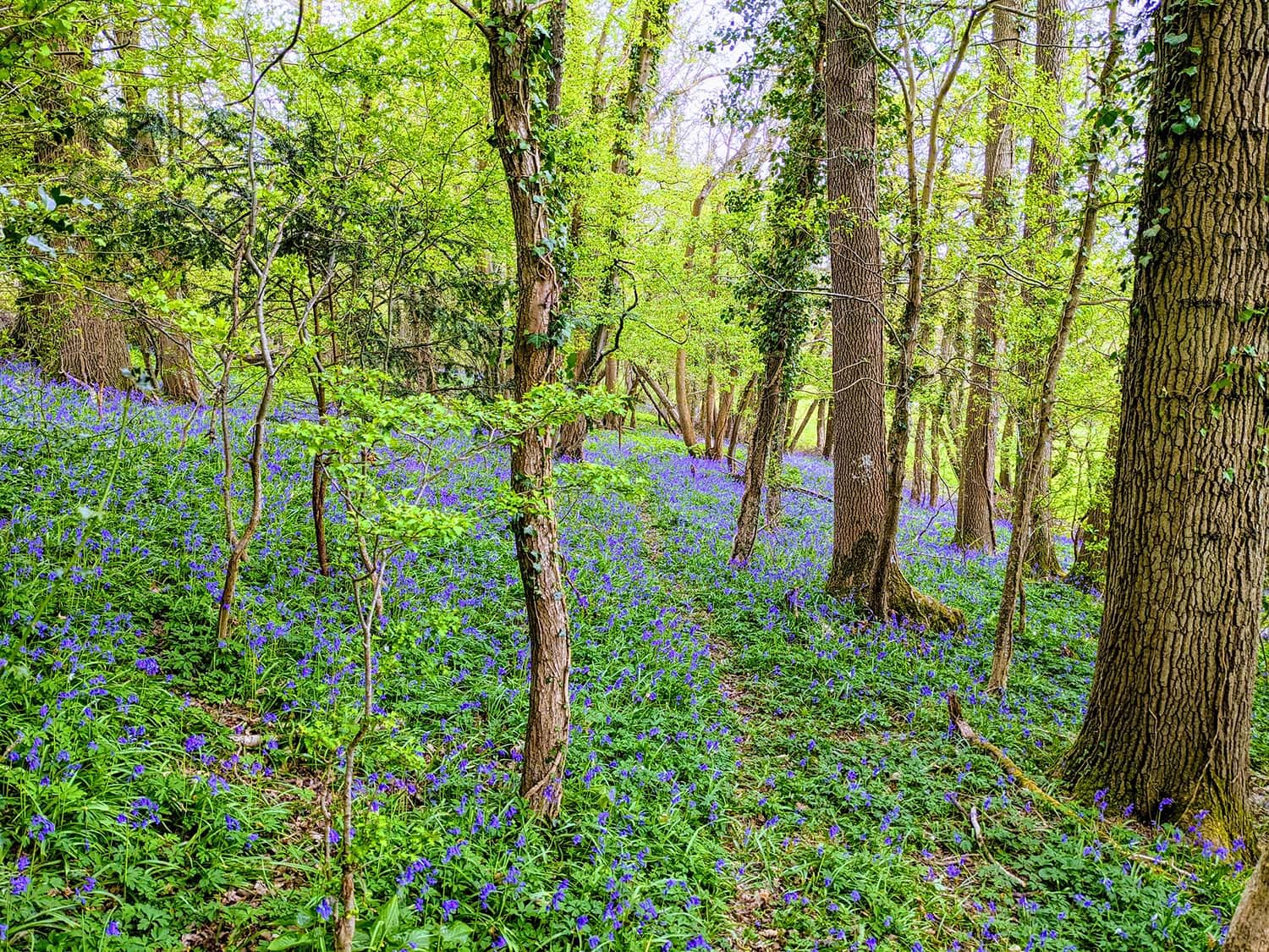

From the book, The Secret World of Weather:
In mountainous country you may also come across a cloud that streams away from only one side of a mountain summit: the banner cloud.
When moist air is blown into the summit of a mountain, it hits a wall. The air can’t immediately escape and is temporarily stopped in its tracks, but air is still arriving with the wind. This leads to compression and higher air pressure, and whenever air is compressed, it warms.
This must also mean that there is an area just downwind of the summit where the wind is flowing away but not arriving quickly enough to replace it. It causes lower pressure and expansion; the air cools. Now we have slightly warmer air on the upwind side of the summit and cooler air on the downwind side. A cloud is much more likely to form on the cooler downwind side. The wind continues to pull at this cloud, giving it a streaming shape: hence its name, the banner cloud.
This cloud grows more likely the more impressive the summit. There have been famous examples at the Matterhorn in Switzerland and, unsurprisingly, on Mount Everest. There are no banner clouds downwind of rolling hills.
This cloud shows us that the air is near saturation at that level, but its main job is to fly a flag and display the wind direction for us. It is a simple cloud with a simple meaning. The first time I saw one was in the Alps. My brain decided that I wasn’t looking at a summit and a cloud at all: it was a rock steam train.

You might also enjoy:
What are Fallstreak Holes in Clouds?