Latest News: The new online course – The Beginner’s Guide to Natural Navigation – includes a video tutorial on how to find your way with plants.
The sun and stars are the best known methods for using nature to point the way. These shining signs are integral to natural navigation and do offer the most accurate clues to direction. However, the art becomes more challenging and, for a lot of people, more fascinating when we look closer to the ground.
On the ground we are looking for clues to how the elements, including the sun, have changed our environment and then using this evidence to gain an idea about direction. A great place to start is by looking at the trees.
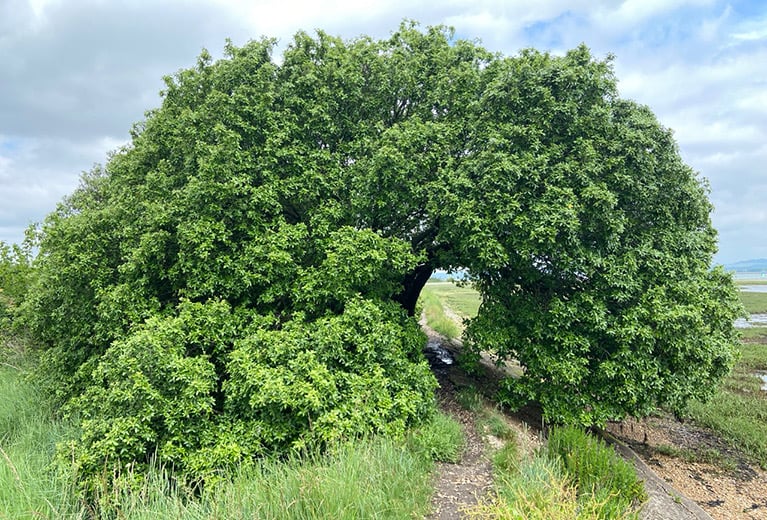
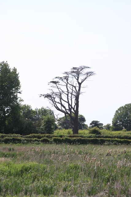
Trees are never symmetrical and tend to be ‘heavier’ on one side. Look at the pictures above and below, for good examples.
There are three main methods for using the trees to find your way. We can look for how the tree’s growth is influenced by the sun and how their shape is altered by the wind. The third method is to use a tree’s preferences to work out the nature of the terrain ahead of us.
The first two methods, using the sun or the wind, are the best ways to find direction.
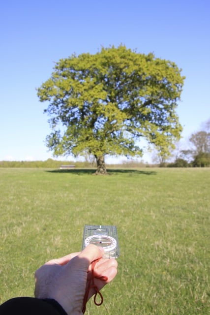
Let’s start by considering the sun’s effect. In northern parts of the world the sun spends most of its time in the southern part of the sky. Trees, like all green plants, need the sun to survive and thrive and so they reflect the sun’s arc in the way they grow. This leads to trees growing asymmetrically (a huge amount of natural navigation is about looking for asymmetries in nature) and no two sides of a tree will be identical. The side that gets the most sun, the southern side in the UK, will grow more densely and appear ‘heavier’ than the side that is shaded by the trees’ own leaves. This effect is easiest to spot in isolated deciduous trees, a big lone oak in a field will usually demonstrate this quite well. Trees in woodland are competing with each other with sunlight and so the effects become confused.
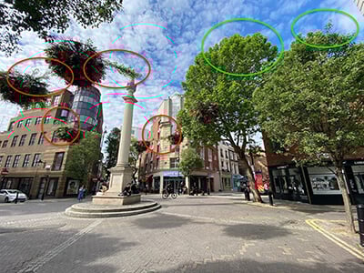
One trap that many fall into is to look at a tree from only one angle and then wonder why it is not offering up its secrets. Each tree changes in appearance as you walk around it and so it is important to make a couple of circuits of a tree whenever possible.
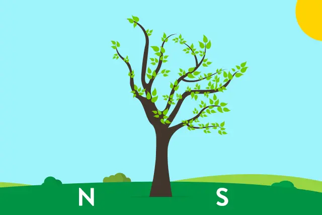
The sun also shapes individual branches. The branches on the southern side tend to grow more horizontally, out towards the sun, whereas the shaded northern branches tend to grow up, closer to vertical, in their search for more sunlight. This leads to what I call the ‘Tick Effect’ when the tree is viewed from west to east. It is often hard to spot, but very satisfying when you do.

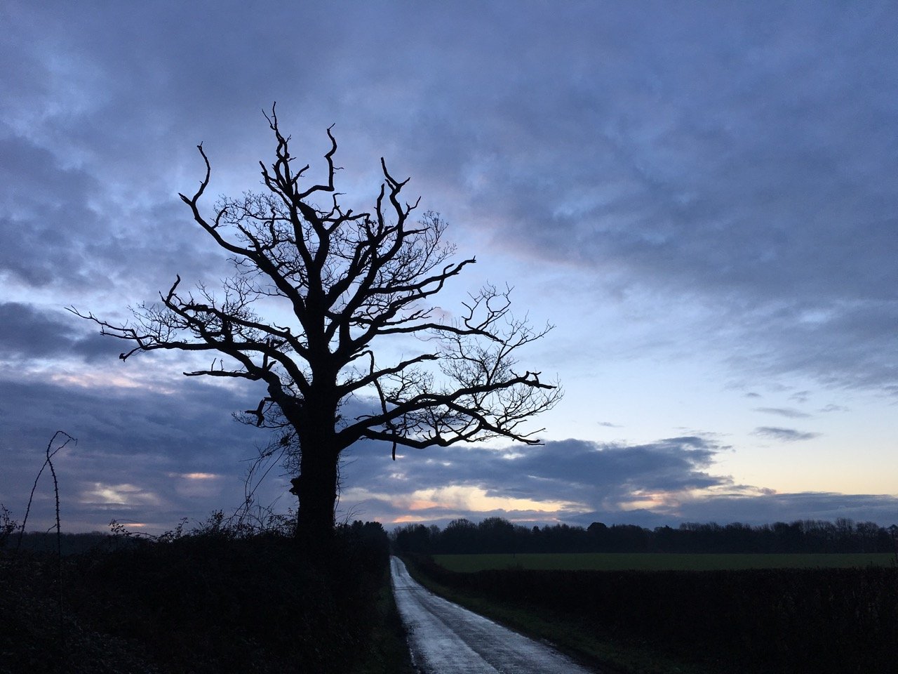
The tops of exposed trees are often combed by the prevailing wind.
The wind can blow from any direction, but there are trends and it is these trends that are useful to natural navigators. In the UK the prevailing wind is from the southwest, which means that the tops of exposed trees often show a combing from southwest to northeast. This is easiest to spot when you look at very exposed trees, but with practice the effect can often be spotted in more sheltered areas, and occasionally even in towns.
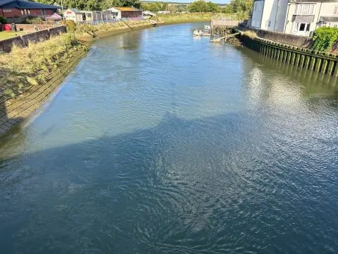
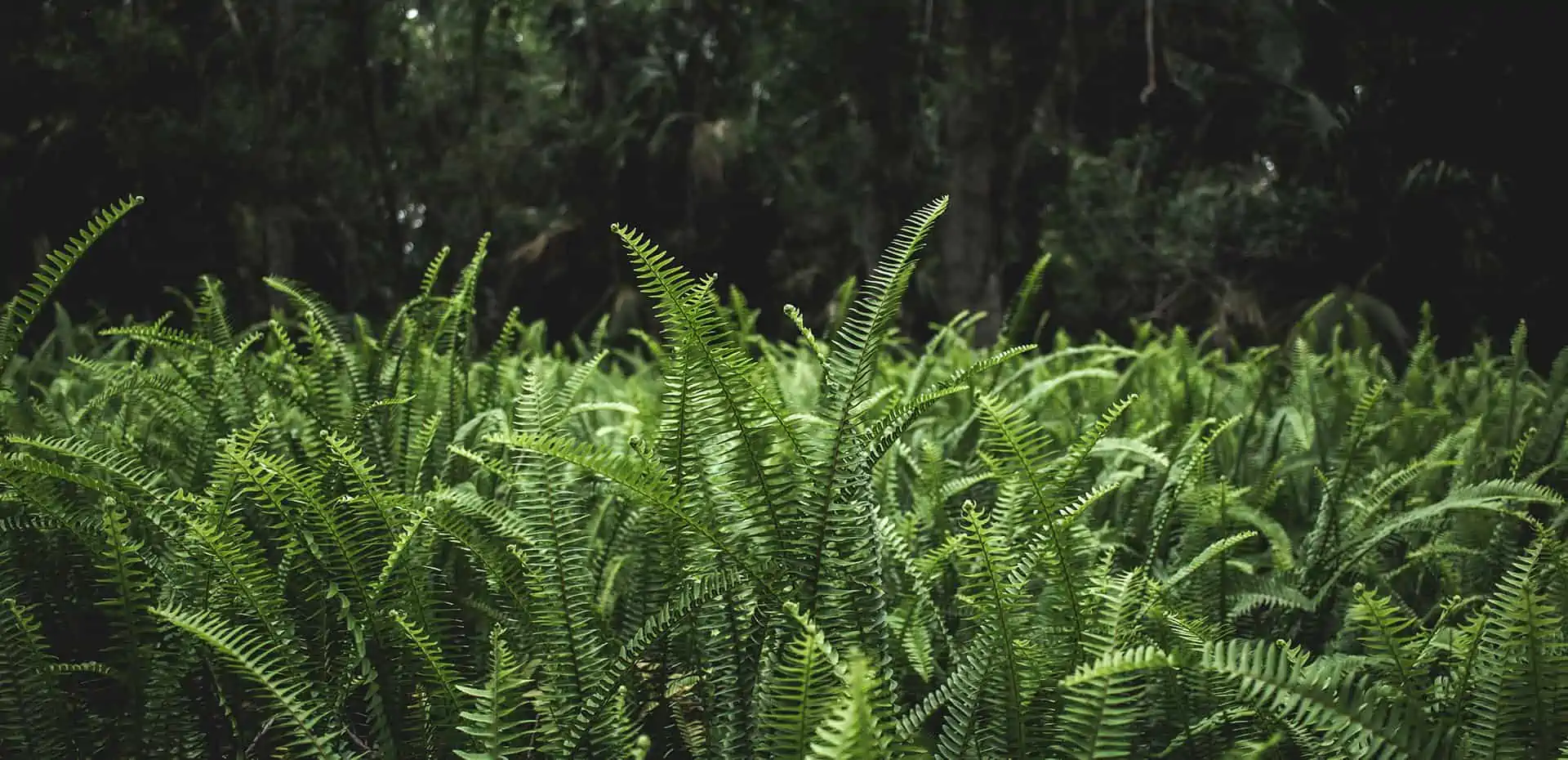
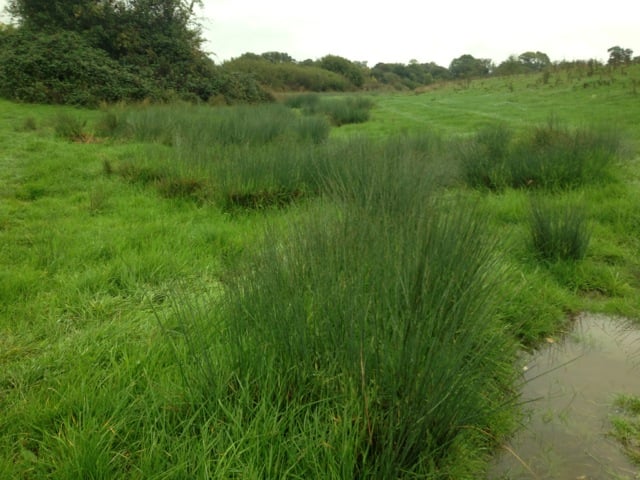
The third method means using a tree’s preferences to work out the nature of the terrain ahead of us. It is easy to find a river, for example, if we know to look for a line willows or alders. Soft rush, juncus effusus, is a great plant for indicating wet ground. In the picture below you can see the rushes revealing the areas of water-logged ground.
With practice every single tree, shrub and wild flower can reveal something about direction and the terrain around you. It is best to start with the simple methods on this page and then add to them slowly over time. In total I have collected 21 different ways we can navigate using the trees.
Lots more information about these methods and lots of others can be found in my books.