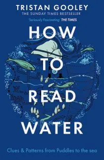
For a complete guide to this subject, see the book, How to Read Water.
More than 1300 years before the first records of the compass in Europe and almost 2300 years before satellite navigation and GPS, Pytheas the Greek managed to travel from the Mediterranean to the Arctic Circle. It is no coincidence that he was a leading astronomer of the time.
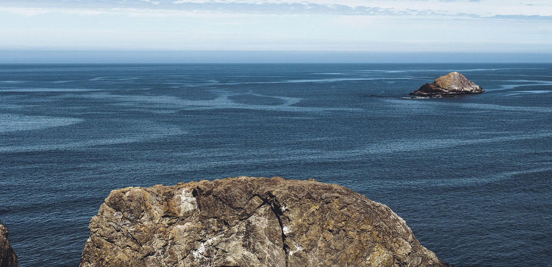
More recently the Vikings in the North Atlantic and the navigators of the Pacific, in Micronesia and Polynesia, have proved that there is a lot more to nautical navigation than looking up.
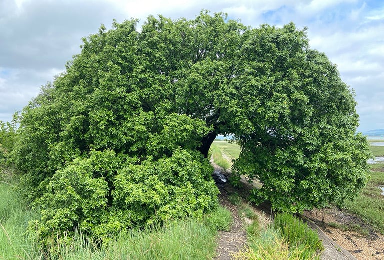
Expert natural navigators at sea learn to read the motion of the water in the way a land navigator would read a map. Every ripple, wave and swell contains detailed information about what the wind is doing, what it has been doing and therefore what direction a sailor is heading. For a complete guide to this subject, see the book, How to Read Water.
Natural history is a valuable aid in working out direction and the proximity of land. The annual and daily patterns of bird flight, combined with the habits of marine life like whales and dolphins offer valuable help to those who look for these clues.
Recently I embarked on a short-handed voyage from Scotland to the Arctic Circle to confirm some of the methods available to the Vikings. The account of that voyage and a complete guide to this subject, can be found in the book, How to Read Water.