

If we see clouds growing taller, it is a sign that showers and storms are more likely than days when the clouds are flat and spread out.
Tall cumulus clouds are a sign of an ‘unstable atmosphere’, which means that warm moist air that starts rising is likely to keep rising.
An unstable atmosphere might only lead to harmless tall white clouds or to rain showers, but sometimes it leads to thunderstorms. The taller the cloud and the faster it rises, the more likely that it will turn into a storm cloud (cumulonimbus).
The Tell
Occasionally it is obvious that there is a storm in the distance. But quite often we will get a sense there are storms about, but can’t tell whether the clouds we are looking at are violent storms or harmless.
For a thunderstorm to form, there must be ice at the top of the cloud. Ice at the top of tall cloud is the ‘tell’, it’s the key to working out whether a menacing cloud has developed sufficiently to become a thunderstorm.
Clouds formed of ice particles look different to clouds formed of water droplets. Icy clouds are wispy or feathery.
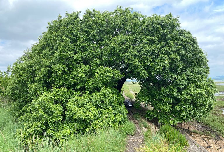
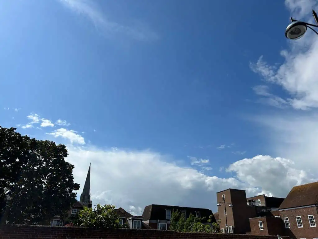
The highest clouds we see are are known as ‘cirrus’ clouds and they are always wispy. Cirrus clouds are formed of ice particles not water. (There is some cirrus near the top left of the photo above.)
If the top of a tall cloud is wispy and has lost its shape, it is a potential storm cloud. If it still has a clear shape then it is still water and a storm has not formed (yet).
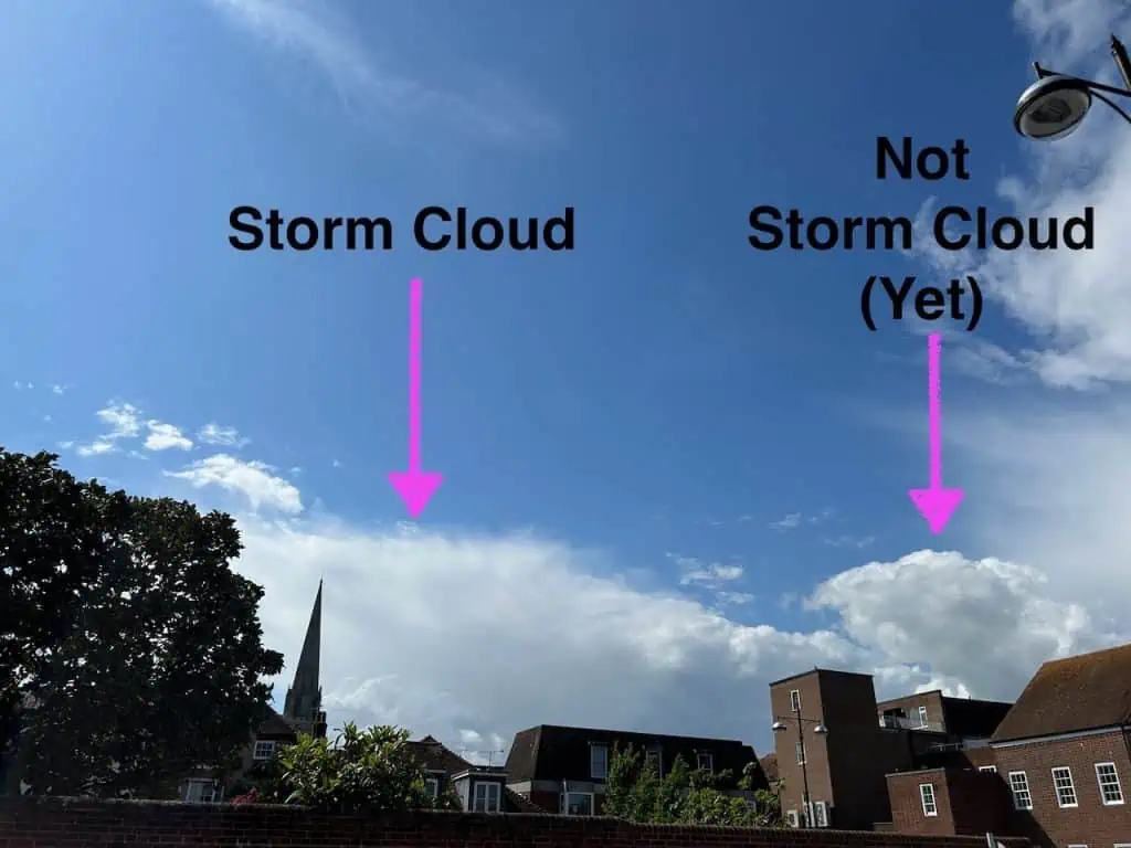
The one on the right has a clear shape and is still harmless.
Have a look at the photo below and work out which is the thunderstorm:

You might also enjoy:
When Clouds Appear Like Rocks and Towers…
The Secret World of Weather – The Book