What Are Jet Stream Ropes?
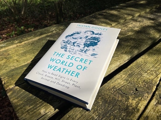
The following is an excerpt from the book, The Secret World of Weather, by Tristan Gooley.
Jet streams are snaking, high-speed, high-altitude winds. On average, they flow from west to east and are like rapid aerial rivers, broad, shallow and faster in the middle than at the edges. They form at the boundary of very cold and warm air masses. There are two jet streams in the northern hemisphere – the subtropical jet and the polar jet.
The exact anatomy and behaviour of jet streams is complex and we don’t need to study it to read the signs these winds create. In truth, the science is still young and meteorologists continue to debate the intricacies. Does the moon have a significant impact? Maybe. We’ll leave them to their machinations, as the fundamentals are now well understood and that is all we need.
The position of the jet stream fluctuates, moving north or south, as it flows from west to east. And it snakes on its journey – it may flow from south-south-east to north-north-west, or south-south-west to north-north-east, but it tends towards a west to east path.
The position of the jet stream will always reveal something about the weather we will experience in the northern temperate zone. We can think of the jet stream as a line that runs between two different weather zones. It follows that if this line moves over us, we must be sitting under the boundary of the two zones. The weather is unlikely to be settled. Spotting signs of the jet stream winds is therefore an early clue that low pressure systems and the bad weather they bring may be on the way. In fact, it is one of the earliest such signs.
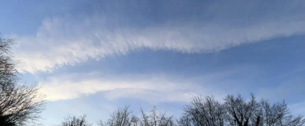
The jet stream blows miles above us and, like all winds, it’s invisible. But it does leave traces that we can spot in high clouds. The jet stream creates its own brand of cirrus clouds. Individual patches of cirrus can reveal the wind direction and, as we saw in the comma cirrus, they can also map local changes in wind speed and direction. But when the jet stream is overhead, the cirrus picture changes dramatically and we start to see very long, linear cirrus patterns in the sky. I call them ‘the jet stream ropes’. They are so easy to spot when you know to look for them, but equally easy to miss – cirrus is always so high and thin that, even when it covers large parts of the sky, it never blots out the sun or casts a shadow.
If you see cirrus that forms very long lines that can be followed across the sky, often all the way from one horizon to the other, you are looking at jet stream cirrus. All sorts of patterns can be superimposed on the main linear nature of these clouds – fish-bones jutting out of the spine is a favourite. Sometimes there is one strong, broad backbone of cloud, sometimes several thick bands and at others it will be dozens of very thin lines. But, whatever secondary patterns you spot, the key indicator is that the ropes run across most of the sky.
The video below shows the same skies less than two hours after the video above. The blue sky is long gone and the rain has started. It got a lot worse.
You might also enjoy:
How to Forecast Weather with Contrails
Animal Weather Signs in Montana
The Secret World of Weather – The Book