







Supercomputers churn mounds of data and give us a more accurate weather forecasts than our ancestors could manage. But there is something more satisfying about a forecast that we create ourselves, using only our senses and powers of deduction.
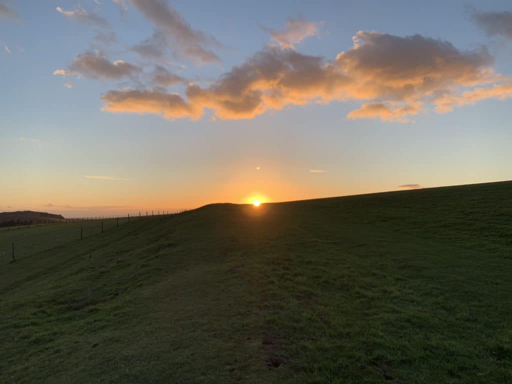
‘Red sky at night, shepherd’s delight,’ is popular partly because it both scans and rhymes, but more because it works: we see a red sky at night when visibility to the west is very good, which in turn indicates clear skies in the direction our weather normally comes from.
There are a couple of clouds that are useful in their own right and they sit at opposite ends of the weather spectrum. Cumulus clouds, those fluffy sheep in a blue sky, with their gently rounded tops and flat bottoms, indicate settled fair weather and no idyllic summer scene is complete without them. The villains of the weather peace are the cumulonimbi clouds, the massive, towering clouds that sometimes have an anvil shape to their tops. These are the thunderstorm clouds and are always a sign of trouble.


In terms of forecasting there is a one-two combination that is worth knowing. If we get cirrus followed by cirrostratus, that is a strong indication of a warm front and therefore rain. Cirrus are the high, wispy, ‘candy-floss’-like clouds. Cirrostratus forms a high thin milky blanket. It often gives the sun or moon a halo. Candyfloss followed by a halo is a sign of lots of rain on its way.

You might also enjoy:
A Guide to Weather Lore.
